
Academic Staff
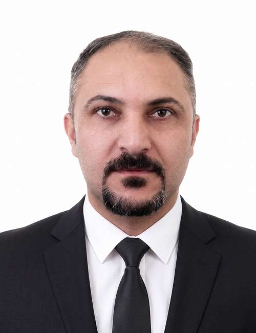
Assistant Lecturer in Surveying Engineering
Architectural Engineering
College of Engineering
University of Duhok
M.Sc, Surveying Engineering, University of Duhok, Kurdistan Region, Iraq, 2017-2020
B.Sc, Civil Engineering, College of Engineering, University of Duhok, Kurdistan Region, Iraq, 2007-2011
Ageed is a Ph.D. candidate in the Department of Civil Engineering within the College of Engineering at the University of Duhok (UoD). He earned both his B.S. in Civil Engineering and his M.S. in Surveying Engineering from the University of Duhok, where his early research focused on digital photogrammetry. Currently, Ageed’s doctoral research investigates methods for improving the geoid model for the Duhok region based on gravimetric observations. His work aims to significantly enhance the local accuracy of Global Geopotential Models (GGMs). Upon completing his doctorate, Ageed aspires to transition into a tenure-track faculty role where he can establish a research program dedicated to pioneering new methods in developing a centimeter-level accuracy geoid model for the Kurdistan region of Iraq.
Teaching Responsibilities and Educational Philosophy
As an educator in Civil and Surveying Engineering, my primary responsibility is to integrate rigorous theoretical foundations with practical engineering applications, enabling students to develop both analytical and professional competencies. Through my teaching at the University of Duhok, I strive to cultivate an engaging and student-centered learning environment that seamlessly connects classroom instruction with field-based practice, laboratory analysis, and collaborative project work.
My teaching philosophy is founded upon four interrelated pedagogical principles:
Project-Based Learning (PBL)
I structure coursework around comprehensive, real-world engineering projects that reflect professional practice rather than isolated academic exercises. Students are engaged in semester-long projects, such as conducting complete site surveys, designing and adjusting GNSS networks, or producing digital topographic maps from data acquisition to final reporting. This approach provides students with an authentic understanding of the workflows, standards, and challenges encountered in engineering consultancy and research environments.
Experiential Learning
I firmly believe that engineering knowledge is most effectively acquired through direct experience. Consequently, I emphasize hands-on training that enables students to develop proficiency in the operation of modern surveying instruments, including Level instrument, GNSS receivers and total stations, as well as specialized data-processing software. Through practical exercises, students learn to transform raw field observations into accurate and reliable engineering products.
Problem-Based Learning
To promote critical thinking and analytical skills, I challenge students with realistic engineering scenarios that require systematic problem-solving. These may include addressing mapping inaccuracies, performing geodetic network adjustments, or resolving data-quality issues. Such activities encourage students to apply theoretical concepts, evaluate alternative solutions, and develop the precision and professional judgment required in engineering practice.
Mentorship and Student Development
Recognizing the diverse academic backgrounds and learning needs of engineering students, I am committed to maintaining an inclusive, supportive, and accessible learning environment. Through continuous guidance and mentorship, I assist students in navigating challenging technical content, strengthening their problem-solving abilities, and developing the confidence necessary for academic success and professional growth.
Courses Taught
Below is a comprehensive list of courses I have instructed, co-taught, or assisted with at the University of Duhok, undergraduate level
Introduction to Surveying Engineering
Architectural Working Drawings
Geodesy- Practical
Engineering Drawing / Computer-Aided Design (CAD)
Surveying Engineering-Practical
Engineering Mechanic