Map of University Park
Explore the University with a Digital 3D Guide Map
A digital 3D guide map offers a comprehensive and interactive way to navigate a university campus. This three-dimensional graphical representation provides a detailed view of campus buildings, facilities, and grounds, accessible via a website or mobile application.
Key features include:
- Interactive Navigation: Easily search for specific buildings or facilities using detailed scenes and interactive floor plans.
- Enhanced Spatial Understanding: The 3D perspective helps users visualize the campus layout, making it especially beneficial for new students, visitors, and event attendeesUser-Friendly Experience: Quickly locate key points of interest, improving navigation and accessibility for all users.
This innovative map is an invaluable tool for improving the campus experience, enabling users to explore and understand the university's layout with ease and precision.
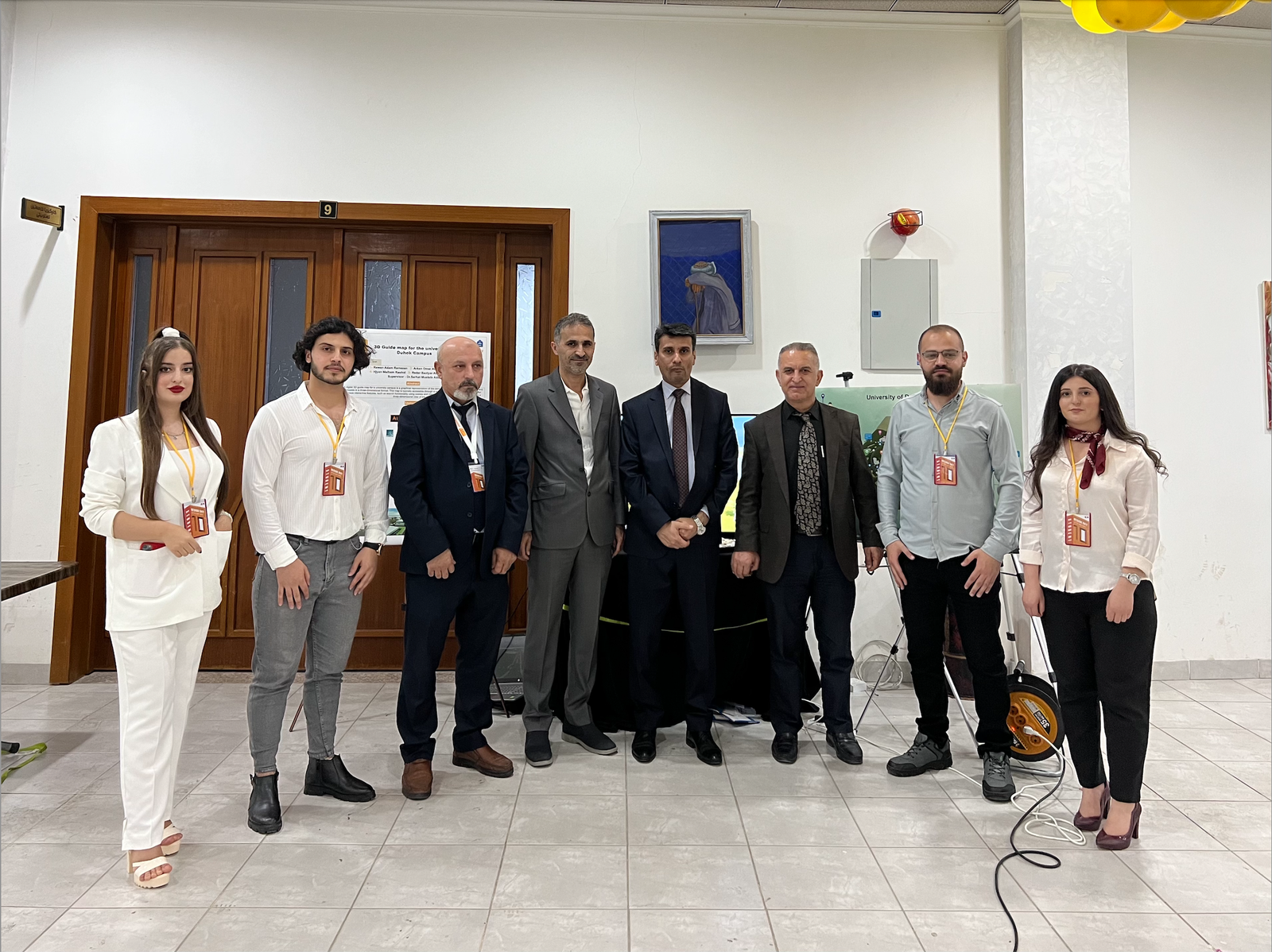
Project Team
This project was successfully completed by the dedicated efforts of survey engineers at the University of Duhok:
- Supervisor: Dr. Sarhat Mustafa
- Group Leader: Rawan Adam
- Team Members:
- Arkan Omar
- Silav Waheed
- Hijyan Malham
- Redir Bakhtiyar
How to Use the Map
To make the most of the 3D guide map, follow these simple steps:
- Access the map via the university’s website or mobile application.
- Use the search functionality to find specific buildings, facilities, or areas of interest.
- Navigate through interactive scenes or floor plans to explore the campus.
Experience the University of Duhok like never before with this cutting-edge 3D guide map!
To use the map, simply check the following steps:
◉ Use the links below or scan the QR codes to obtain the UoD map for roads.
Click here to download the UoD Map
None
Realising the 3D Campus Map Project at the University of Duhok
Empowering Campus Navigation Through Innovation
The University of Duhok (UoD) is proud to introduce a state-of-the-art 3D digital guide map of the university campus, a groundbreaking project developed by students from the Surveying Engineering Department, College of Engineering. This project is a testament to UoD’s commitment to digital transformation, smart campus initiatives, and student-led research.
The primary objective of this project is to provide an interactive and user-friendly navigation tool that allows students, faculty, and visitors to easily explore and locate buildings, academic departments, and key facilities within the university. Digital 3D guide maps have proven to be invaluable in modern campus planning, improving accessibility, enhancing visitor experience, and facilitating a more connected and efficient university environment.
Project Methodology: A Student-Led Innovation
The project followed a rigorous and structured methodology, integrating advanced surveying, geospatial technology, and digital modelling techniques to ensure accuracy and ease of use.
1. Data Collection & Surveying
The first phase involved comprehensive site surveying and data collection using advanced geodetic and remote sensing technologies to ensure high-precision mapping of the entire UoD campus.
2. 3D Modelling & Digital Rendering
Using specialised software such as AutoCAD, ArcGIS, and 3D modelling tools, the team created accurate 3D representations of the university’s buildings, pathways, and landmarks.
3. Development of the Interactive Digital Map
The 3D campus map was then integrated into a digital platform, allowing users to access an interactive, mobile-friendly navigation system.
4. Mobile Application Development
A key achievement of the project was the creation of a mobile application, providing an easy-to-use platform for students and visitors to navigate the campus, search for locations, and access real-time route guidance.
Impact & Future Applications
✅ Enhanced Campus Navigation – Students and visitors can now locate any facility with ease.
✅ Smart Campus Integration – Aligning with UoD’s Digital Transformation Strategy, this project lays the foundation for future Augmented Reality (AR) and Smart Campus applications.
✅ Scalability & Expansion – The framework allows future expansion to incorporate real-time event tracking, accessibility routes, and emergency assistance features.
This student-driven initiative exemplifies UoD’s mission to nurture innovation, bridge academia with technology, and improve campus accessibility for a seamless and connected university experience.
Project Team