
College of Humanities Concludes Five-Week ArcGIS Pro Training Course
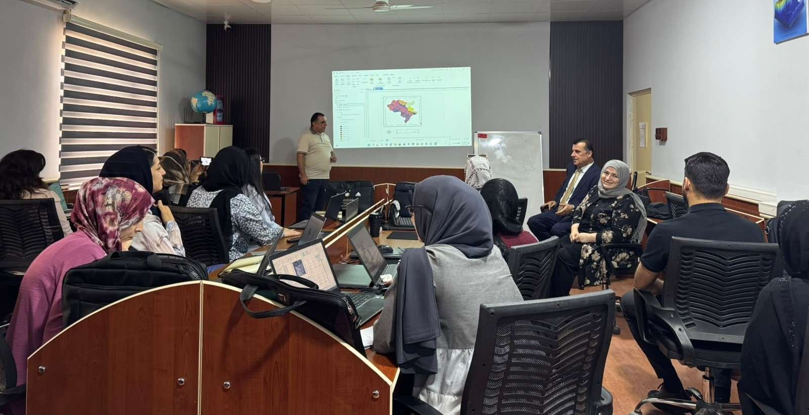
UOD, September, 2026, University Press Office (UNPO) | The College of Humanities at the University of Duhok (UOD) has concluded a five-week practical training course titled “Foundations of ArcGIS Pro: Data Management and Map Creation,” aimed at introducing participants to the fundamentals of Geographic Information Systems (GIS), spatial data management, analysis, and digital map production.
The course provided participants with practical experience in using ArcGIS Pro, a leading GIS software platform for spatial analysis and map production. Designed for beginners, the training combined theoretical sessions with hands-on exercises to help participants develop the skills needed to manage spatial data and produce professional maps for academic, professional, and organizational purposes.
Over the five weeks, the course covered a progressive set of topics, including:
- Introduction to ArcGIS Pro and its interface, projects, maps, and layouts.
- Spatial data management, including vector and raster data, attribute tables, coordinate systems, and projections.
- Data management and editing, including geodatabases, digitization, feature editing, and map symbology.
- Basic spatial analysis, including selection, buffering, clipping, intersecting, and spatial joins.
- Map design and cartography, including thematic mapping, labels, legends, scale bars, north arrows, and map export.
The training was delivered by the Head of the Geography Department, Dr. Shamal Ahmed Ameen, Dr. Nashwan Shukri Abdullah, Dr. Samir, and Dr. Dilovan Ramadhan Ismail, with sessions held twice a week from 19 July to 19 August 2026.
Through practical exercises, participants applied the concepts covered in each session, including creating projects and geodatabases, managing and editing spatial datasets, conducting basic geographic analyses, and designing thematic maps. The course also included a practical final project in which participants were guided to select a study area, organize vector and raster datasets, conduct spatial analysis, and produce a professional thematic map.
The course contributes to the University of Duhok’s commitment to digital transformation and development, practical learning, and academic capacity building, supporting the development of technical competencies that can be applied across research, planning, environmental studies, and other fields requiring spatial data and geographic analysis.
CLICK HERE TO VIEW THE MEDIA COVERAGE
University Press Office, September, 2026
Report: Fatima Mahmood Ali, Shamal Ahmed Ameen
Photography: Ziad Muwaffaq Abdullah