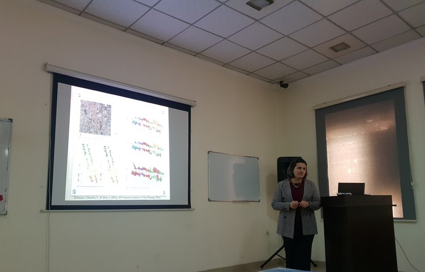
The department of Spatial Planning hosted the sixth seminar of the semester. For this week, on Tuesday, 30th of November, 2021, Lecturer, Mrs. Jowan Khorsheed, gave a seminar titled "Integrating 3D visualization and GIS in Planning Education".
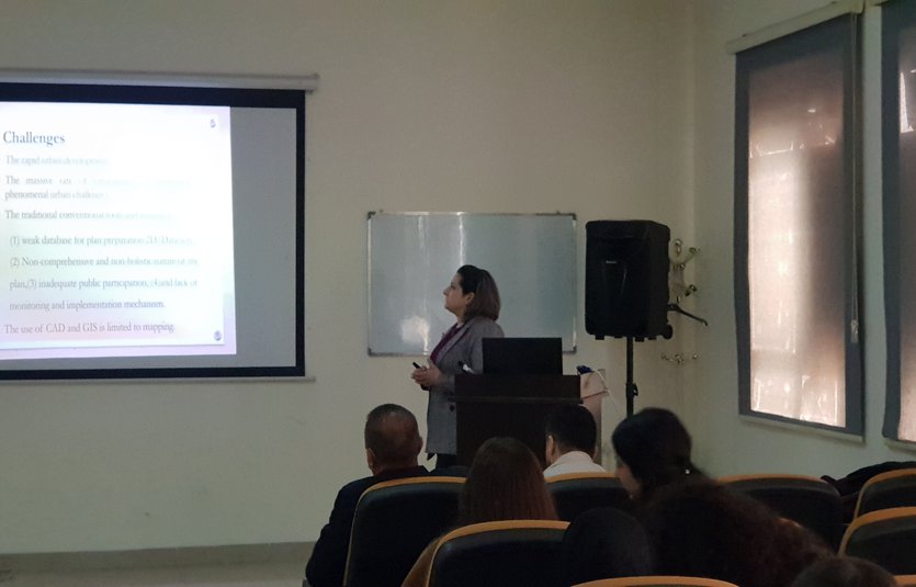
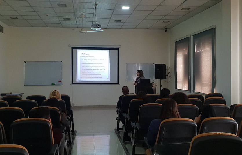
The objective of this seminar is to introduce the third dimension of modeling in urban planning education, through questioning” can a 3D city model and its visualization support urban planners in providing a greater understanding of a given urban problem and enhance decision making?”. GIS has a lot of potentials working with spatial data, urban environment is a complex phenomenon that is not easy to grasp from the 2D conventional tools and techniques, thus it is essential to start working with the 3D visualization integrated with GIS, to ensure a better monitoring and implementation mechanism and ensuring public participation in the planning process.